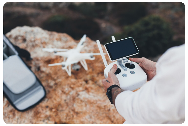
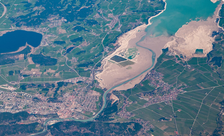
Aerial Surveying and Mapping
Traffic and Fleet Monitoring
Inspection & Maintenance
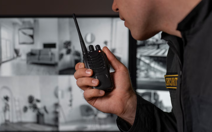
Surveillance & Security
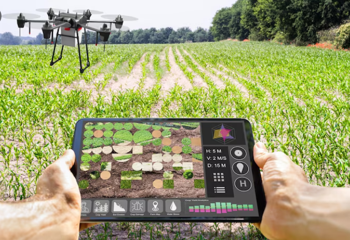
Agricultural and Crop Monitoring
Event and Media Coverage
Aerial Surveying and Mapping
Aerial Surveying and Mapping
- Document land, topography, and infrastructure.
- Produce maps and 3D models for analysis.
Traffic and Fleet Monitoring
Traffic and Fleet Monitoring
- Document vehicle movement and traffic patterns.
- Analyse flow for administration and optimization.

Inspection & Maintenance
Inspection & Maintenance
- Examine bridges, pipelines, and other structures.
- Identify faults and confirm safety compliance.

Surveillance & Security
Surveillance & Security
- Monitor areas in real-time for security purpose.
- Identify anomalies and control crowds.
Agricultural and Crop Monitoring
Agricultural and Crop Monitoring
- Evaluate crops and field conditions.
- Aid in making irrigation and precision agriculture decisions.
Event and Media Coverage
Event and Media Coverage
- Document live events, sports and promotional footage.
- Obtain aerial imagery of a professional quality for media purposes.


"As Community Manager I will be in charge to monitor in order to actively listen to users and extract an analysis that will reveal the most emotional part of your audience."

"I am passionate about ensuring every project meets the highest standards and delivers exceptional results that matter to our clients."
"Leading the marketing team to create strategies that connect emotionally with our audience and drive engagement across all platforms."
"Ensuring seamless user experiences and innovative designs across platforms, with a focus on functional and beautiful interfaces."